ISRO Chairman V Narayanan Highlights Importance of Surveillance Satellites
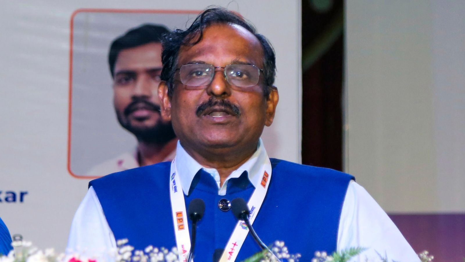
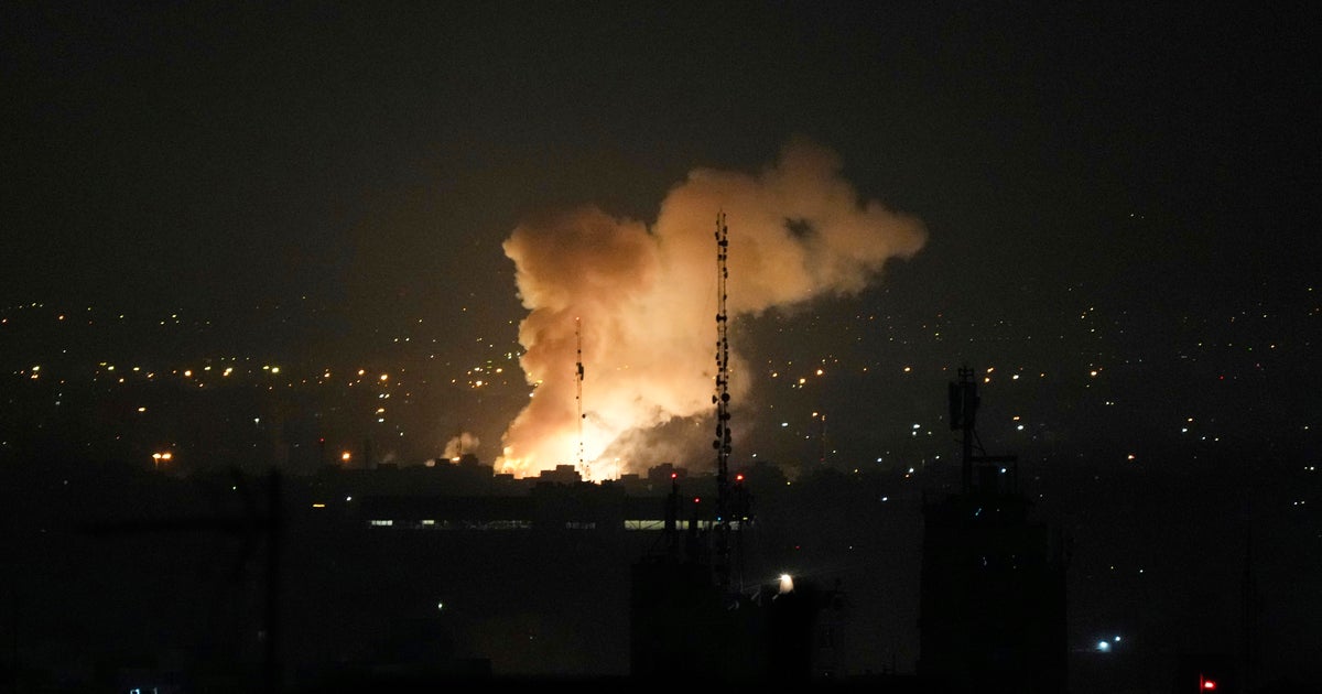
ISRO chairman V Narayanan said that 10 satellites are continuously working around the clock to ensure the safety and security of the country’s citizens amid heightened tensions with neighbouring country, Pakistan. While addressing the 5th convocation ceremony of Central Agricultural University (CAU) at Agartala, the ISRO chief said, “If we want to ensure the safety of our country, we have to serve through our satellites. We have to monitor our 7,000 km seashore areas. Without satellite and drone technology, we can’t achieve many things.”
ISRO to Launch EOS-09 Surveillance Satellite
Narayanan’s statement has come at a time when ISRO is scheduled to launch another surveillance satellite, the EOS-09 (RISAT-1B) radar imaging satellite, into a sun-synchronous orbit on May 18 that will boost India’s surveillance powers along its sensitive borders. Emphasising the role of advanced satellite technologies in driving progress for the common man, predicted that before India celebrates 100 years of its independence, the country would be a master in every field, the country would be an outstanding contributor to the world.
ISRO's Contribution to Northeastern States
ISRO and its several satellites are operational for the development of northeastern states and the execution of many projects in the region, he added. He urged students that after earning their degrees, their responsibility is to give something to society. Till now, ISRO has launched 127 satellites domestically, including those from private operators and academic institutions.
India's Plan to Enhance Surveillance Capabilities
India plans to launch a 52-satellite constellation over the next five years to enhance space-based surveillance capabilities, as announced by Indian National Space Promotion and Authorisation Centre (IN-SPACe) chairman Pawan Kumar Goenka at the Global Space Exploration Conference 2025. The new satellites will help the Indian Army, Navy, and Air Force track enemy movements, monitor borders and improve real-time coordination during military operations.


